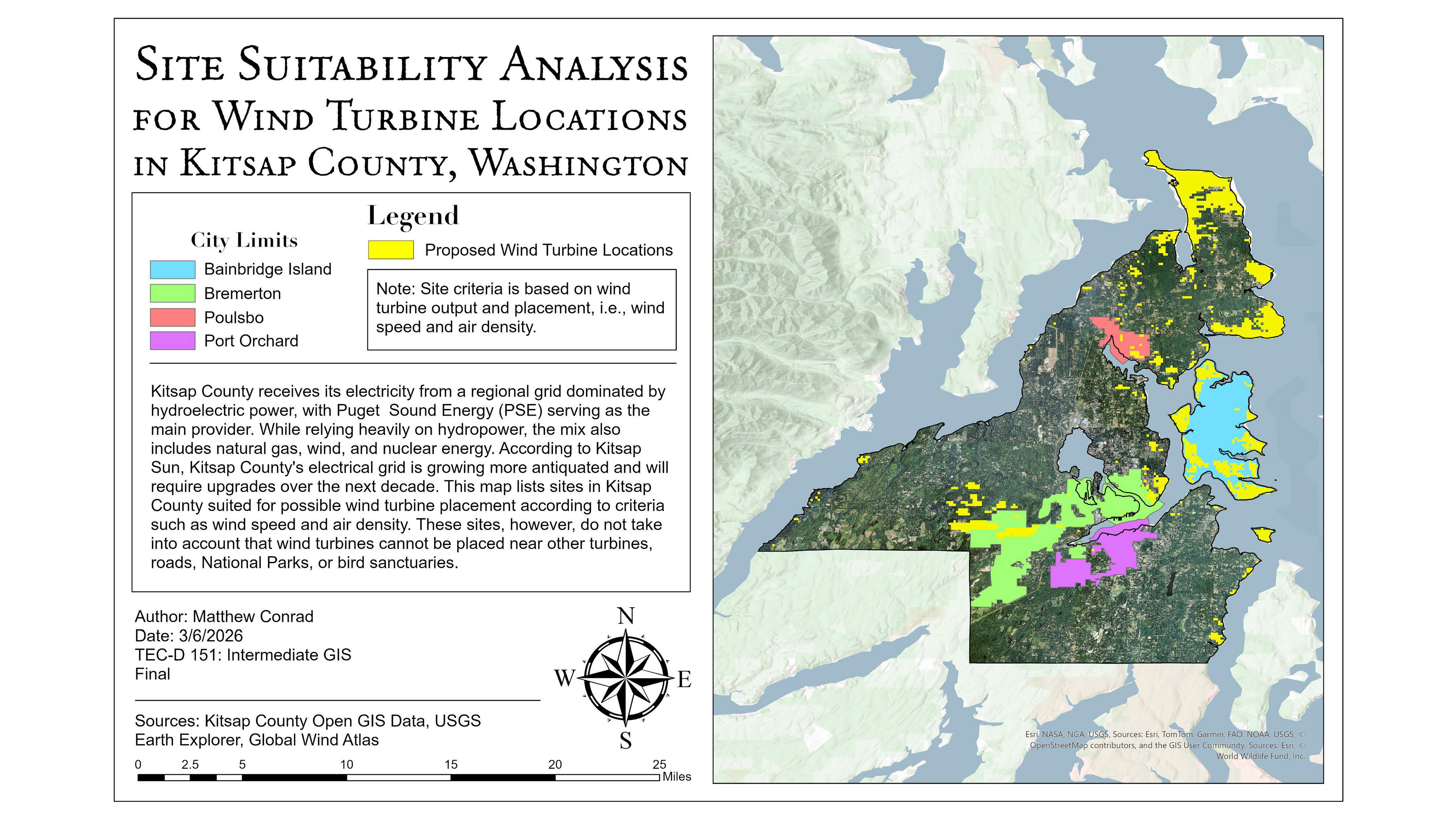
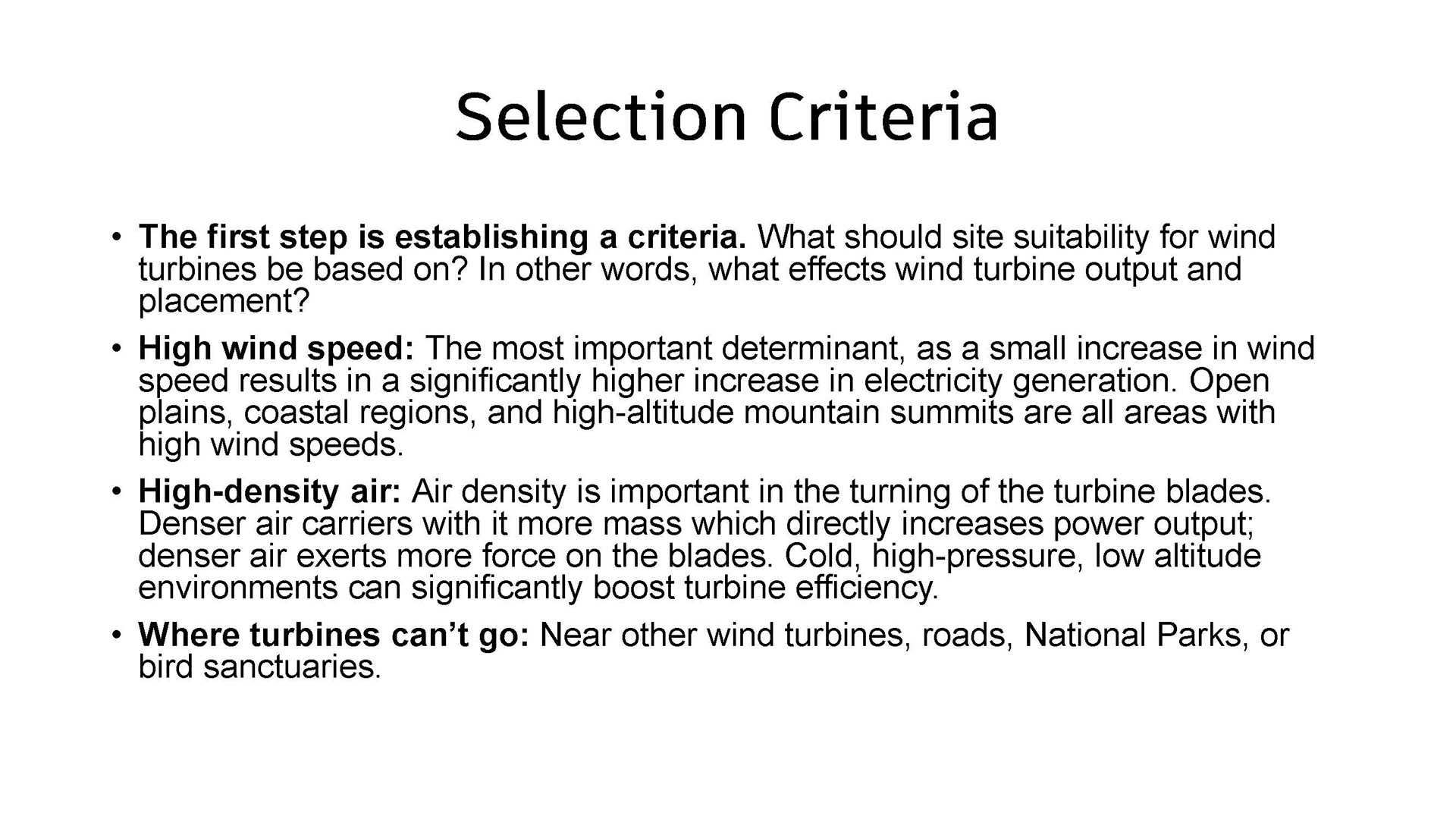
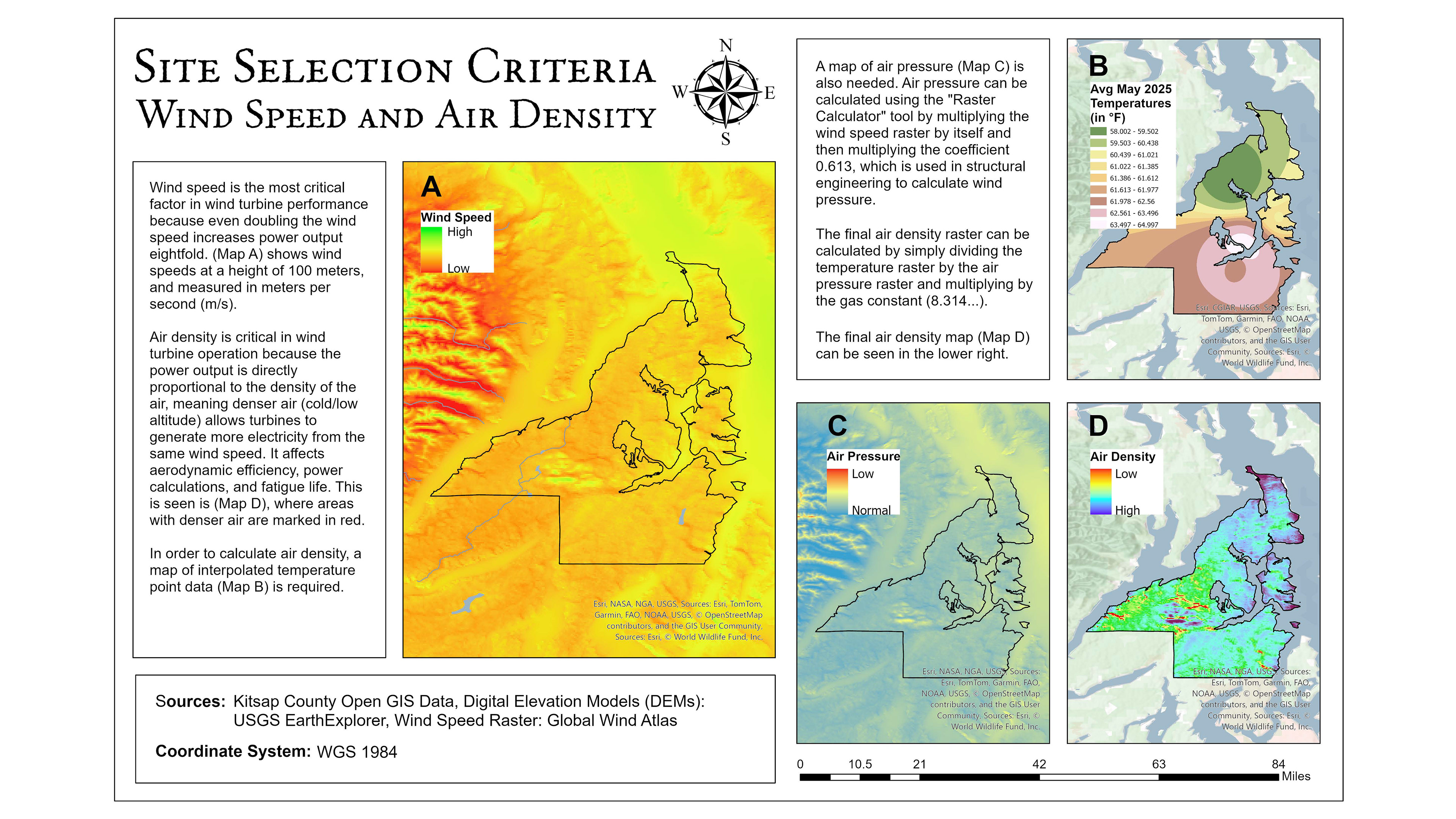
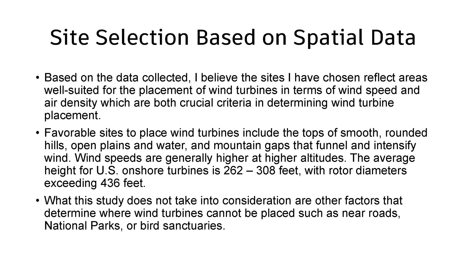
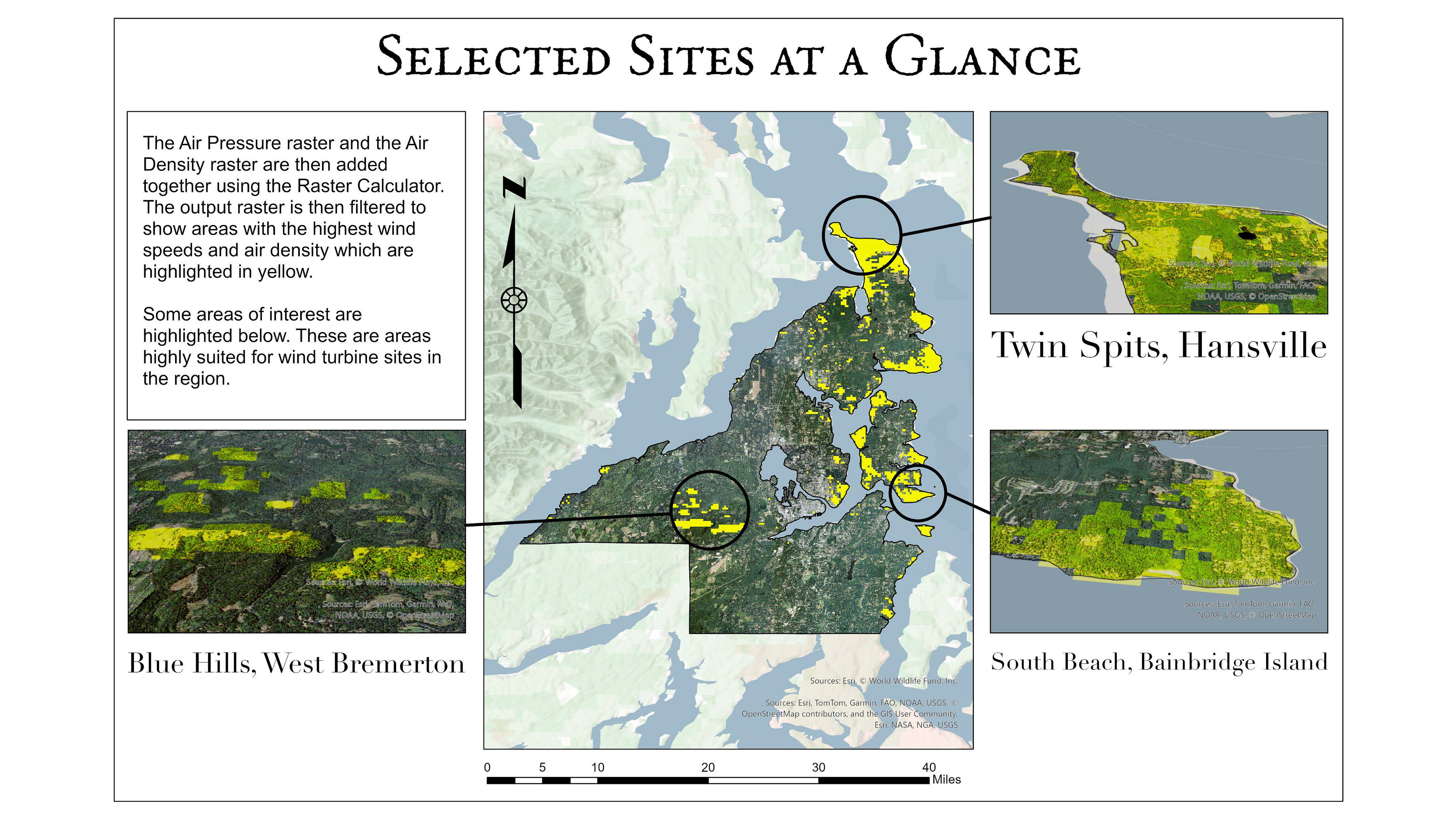
The following images are from a slideshow presentation for my final project submission for the Intermediate GIS course at Olympic College. We were tasked with creating a project that made use of ArcGIS Pro's more advanced spatial anaylsis tools and features. I decided to focus primarily on using the "Raster Calculator" tool in my analysis of the geospatial data I had collected.